Cuyamaca Rancho State Park Loop (60 miles total)
A gorgeous drive, with beautiful landscapes and view points, this loop has a handful of interesting landmarks along the way! Take 79 South about 6 miles to Sunrise HWY, S1, making a left hand turn. Enjoy the drive through the Laguna Mountains, down to Pine Valley and then loop back through Cuyamaca Rancho State Park and past Lake Cuyamaca before your return home~
Kwaaymii Point
Directly off Sunrise Highway (S1) at mile marker 30.3. The road is well signed, and is the only paved road in this area. Follow the road to the end, and proceed on foot South along the PCT. This spot has some of the best views in the county as it is located on the edge of the Laguna Mountains It is a half mile (.5) walk to the actual point on a very wide and still almost flat path. Kwaaymii Point is notable for two reasons; it is part of the Pacific Crest Trail ("PCT") that runs from Mexico to Canada; and this section of trail was actually the pre-1975 Sunrise Highway (as can be seen from the still existing retaining walls. It is a great place for a quick visit, and short hike that is accessible for all ages and abilities.
Big Laguna Lake Hike
Turn right into the El Prado Campground on Laguna Meadow Road. Day Use Fee to park in overflow parking at the very back of the campground. Follow the trail to the east, heading north at the trail junctions to hike into the lake. This hike is 3 miles round trip from the parking area into the Lake. Pets are welcome in the Laguna Mountains!
Desert View Vista Point
On the left hand side heading south is a large turnout and parking area; Enjoy a picnic lunch and the spectacular views down to the desert floor.
Laguna Mountain Lodge & Store
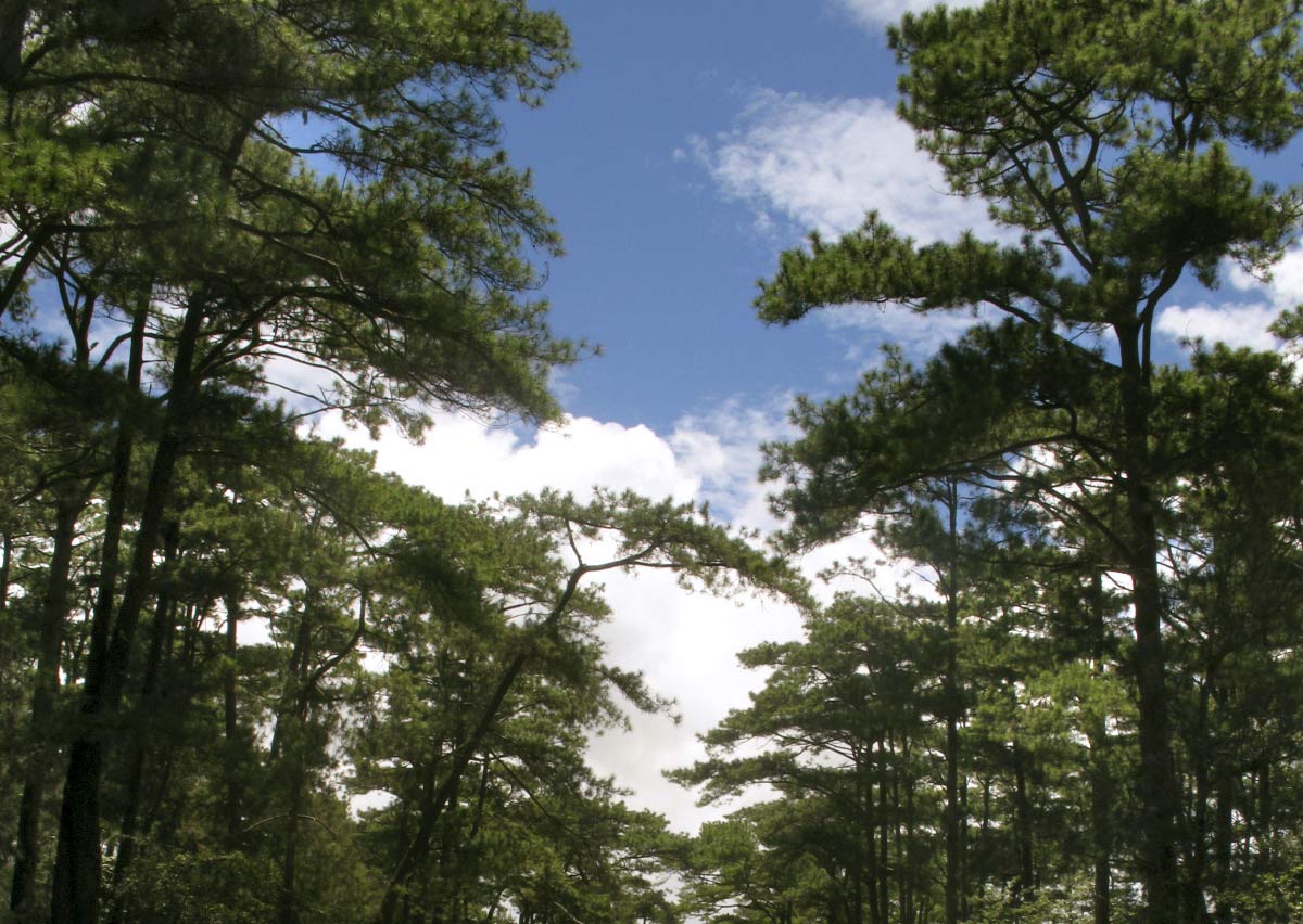
Located on Sunrise Highway, at the highest point of Mount Laguna, 6,000 feet above sea level, Mount Laguna is a pristine forest of pine and oak. This unspoiled location is one of San Diego's best kept secrets. The mountain is the perfect playground for hiking, mountain biking, camping, family activities, star gazing, or just relaxing.
Major’s Diner, Pine Valley
Come visit our authentic fabulous 50's diner. You'll enjoy home-style cooking along with an atmosphere filled with 50's memorabilia, charm & great service! Fun stop along your adventure!
Stonewall Mountain & Paso Picacho Day Use Park
Paso Picacho is a fabulous spot for parking and trail heads. Only two miles south of Lake Cuyamaca several of the park’s most popular hiking trails start from here, like the hikes up to both Stonewall Mountain and Cuyamaca Peaks. Plus you’re 5,000 ft. up, so you get some cool breezes and impressive views of the surrounding mountains.
Cuyamaca Lake Restaurant and Recreation Area
Lake Cuyamaca is a picture-book 110 acre lake that is proof positive that good things come in small packages. Situated at an elevation of 4600 feet in an Oak and Pine forest, it is surrounded on three sides by the 26,000 acre Cuyamaca Rancho State Park, which is 52% wilderness. Lake Cuyamaca is the perfect spot to finish out your road trip through the mountains of San Diego!. Few places in the County offer the pristine views that greet your eyes wherever they may wander! A stop at the Restaurant over looking the Lake is a must as well. Besides fishing, there are many other activities for the avid outdoorsman and the whole family, including: Hiking, Fishing, Boating, Camping, Bird Watching, Picnicking. Dog Friendly at the Lake!
Anza Borrego Desert State Park (75 miles total round trip)
Blair Valley contains four established hiking trails: Marshal South Home, Pictographs, Morteros trails and a branch of the California Riding and Hiking Trail, which descendsfrom the Cuyamaca region and passes through Blair Valley on its way to the Visitor Center in Borrego Springs. This, the longest trail in the park, rises to nearly 5,000 feet and drops to below 1,000 feet in Borrego Valley, exhibiting a wide variety of different habitats.
Galleta Meadows Sky Art Go on Safari amid life-size metal sculptures depicting critters that once roamed the Anza-Borrego Desert as far back as 6.5 million years ago. Pose with Gomphotheres (four tusked, elephant-like creatures); giant tortoises; camelops (early camels); a giant ground sloth; and the "incredible Bird God of the Winds," which has a 17-foot wingspan and is based on the fossil remains of the extinct Aiolornis incredibilis. The menagerie (140 figures in all, including modern-day and mythical creatures) is accessible via an easy driving tour along Yaqui Pass heading into Borrego Springs. Free admission, 786 Palm Canyon Drive, Borrego Springs (760) 767-5555; galletameadows.com
Palm Canyon Visitor Center is state-of-the-art and uniquely situated under a desert garden at the west end of Palm Canyon Drive near the village of Borrego Springs. From the parking lot take the walkway past the flagpole. Stop by to pick up information on wildflowers, visit the award wining museum, see a free slide show or video program, or peruse the wide selection of publications on the park's natural and cultural resources at the bookstore.
Borrego Badlands & Font’s Point is located due east of the Visitors Center between County Road S-22 and Route 78, four million years of geologic and paleontologic history are exhibited across a stark desert landscape. Conglomerates, sandstones, claystones and mudstones, compressed and hardened, chronicle a variety of landscapes, fossil life forms and climates that no longer exist at Anza-Borrego.
Font’s Point offers a commanding view of the Borrego Valley and Borrego Badlands. This prominent viewpoint is reached by a sandy four-mile primitive road, which more often than not is soft and rutted. Four-wheel-drive vehicles are required to reach the view point. Check the road conditions board at the Visitor’s Center prior to attempting to visit Font’s Point. If you can get to Font’s Point the view is well worth the effort. It is one of the most breathtaking viewpoints in the southwest desert regions.
Lunch at Carlee’s Restaurant & Bar on Palm Canyon Drive in the center of Borrego Springs.
The Slot of Anza Borrego, this narrow siltstone canyon provides one of the most exciting hikes in Anza-Borrego Desert State Park. This 0.8-mike trek is capped off with a passage beneath a gravity-defying rock span. There is only 100 feet of elevation loss on this short hike, but the memory will be much more profound.
To get to the trailhead: From Christmas Circle in Borrego Springs, drive 11.5 miles southeast on Borrego Springs Road. Turn left on Route 78 East, drive 1.5 miles, and turn left (north) on a dirt road marked Buttes Pass. Drive one mile up this dirt road to a fork, and continue to the left up Borrego Mountain Wash. Go another mile to the parking area for The Slot. Low clearance vehicles should be able to drive all the way to the trailhead at the end of the sandy dirt road.
There is no trail marker for The Slot. From the parking area, look for footprints leading down into the ravine below. Left of the trailhead, just to the right of a dirt road continuing east, there is a wide path that appears to descend into the canyon. This is not the way. The winding trail cliffs out above a dry falls in a side canyon above The Slot. The correct route is the narrow steep-looking track that drops right off the rim of the ravine, straight ahead from the parking area. Slowly descend into the trench. The trail is steep, but not nearly as steep as it looks from above, dropping less than fifty feet. There are no more optical illusions from here, just eye-popping natural wonders. Turn left and venture down to The Slot. The siltstone walls grow taller and closer together. A tenth of a mile from the start, the canyon becomes quite narrow. Hopefully you did not eat a big breakfast, because you will need to squeeze through course walls that are shoulder width apart, and less in places. (Description provided by hikespeak.com)
Places to Explore to the West
Santa Ysabel 7 miles 78 west 15 minutes
Warner Springs Ranch Golf Course & Mission 23 miles 79 North 30 minutes
Palomar Mountain 37 miles 79 North to 76 West 1 hour
|